-
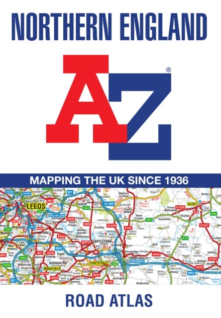
Find your way around Northern England with this fully revised and updated road atlas.A full colour regional road atlas featuring 52 pages of road mapping.Covers an area extending to:Berwick-upon-TweedNewcastle upon TyneMiddlesbroughKingston upon HullGrimsbyBostonNottinghamStoke-on-TrentWrexhamChesterLiverpoolBlackpoolBarrow-in-FurnessDumfriesThe...
kr 149.00
Mer informasjon -
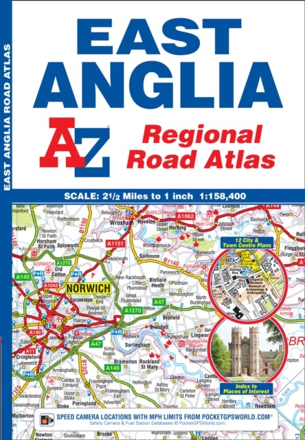
A full colour regional road atlas of East Anglia featuring 39 pages of continuous road mapping that covers an area extending to: Grantham, Sleaford, Boston, King''s Lynn, Cromer, Great Yarmouth, Felixstowe, Clacton-on-Sea, Colchester, Chelmsford,...
kr 149.00
Mer informasjon -
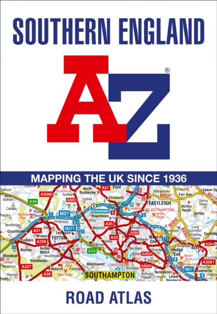
A full-colour regional road atlas featuring 39 pages of continuous road mapping. Covering an extensive area, including Bristol, Swindon, Reading, Slough, Guildford, Littlehampton, Portsmouth, Isle of Wight, Bournemouth, Cardiff, Newport, Weymouth, Sidmouth,...
kr 149.00
Mer informasjon -
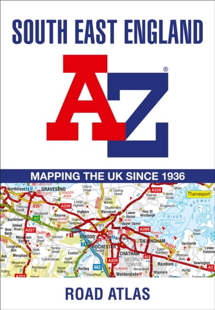
This A-Z map of South East England is a full colour regional road atlas featuring 46 pages of continuous road mapping extending from Banbury and Felixstowe to the south coast, and from Oxford and Southampton to Margate and Clacton-on-Sea in the east.Road...
kr 149.00
Mer informasjon