2024 Collins Handy Road Atlas Britain And Ireland Av Collins Maps
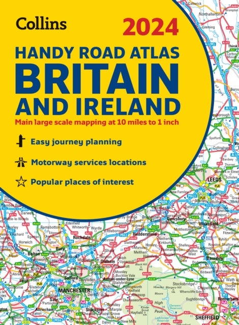
This easy-to-use, handy A5 sized road atlas with popular lie-flat spiral binding features extremely clear route planning maps of Britain and Ireland and fits neatly into your glove box or bag.The maps of Britain are at 10 miles to 1 inch (1:625,000) and the whole of Ireland is covered at 15.8 miles to 1 inch (1:1,000,000). There are also a selection of more detailed urban area maps at 4.5 miles to 1 inch (1:285,000) to aid route planning in these busy areas.Main features:Road maps that focus on the main roads, motorways and settlementsMore detailed maps of London, Manchester, Merseyside and West MidlandsPark & Ride locations (for bus and rail)Handy distance calculator chart highlighting distances between the major towns
Pris: kr 129.00 fra Norli