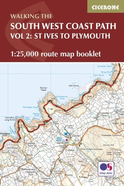
Map of part of the southern section of the 630 mile (1014km) South West Coast Path National Trail. Covers the trail from St Ives to Plymouth along the west Cornwall and Devon coastline. This convenient and compact booklet of Ordnance Survey 1:25,000 maps shows the route, providing all of the mapping you need to walk the trail in either direction.
Pris: kr 199.00 fra Norli
Butikk | Pris | |
---|---|---|
kr 199.00 | Besøk butikk |
Map of the northern section of the 630 mile (1014km) South West Coast Path National Trail. Covers the trail from Minehead to St Ives along the north Devon and Cornish coastline. This convenient and compact booklet of Ordnance Survey 1:25,000 maps shows...
kr 199.00
Mer informasjon
Guidebook to walking the entire South West Coast Path National Trail. The route stretches 630 miles from Minehead to Poole along the north Devon, Cornish, south Devon and Dorset coastline. Divided into 45 stages, this national trail could be completed...
kr 249.00
Mer informasjon
All-in-one practical hiking route guide, maps and accommodation for the first 124.5 miles (Minehead to Bude) of the 630-mile South-West Coast Path. Includes 55 large-scale maps (1:20,000 = 3 1/8 inches to 1 mile); 13 town plans and 8 overview maps. Accommodation,...
kr 199.00
Mer informasjon
A single guidebook to walking the whole Wales Coast Path - 1400km (870 miles) the length of Wales from Chester to Chepstow, including Anglesey, described in 57 stages. The route passes through the Snowdonia and Pembrokeshire National Parks and many AONBs...
kr 249.00
Mer informasjon